-
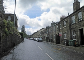
B6106 Dunford Road Holmfirth
-
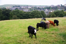
Cows above Holmfirth
B6106 Dunford Road Holmfirth
Cows above Holmfirth
Other current and historical names
Location and coordinates are for the approximate centre of Under Bank within this administrative area. Geographic features and populated places may cross administrative borders.