-

Green Lane, Ufton Nervet
-
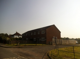
Houses on Camp Road, Ufton Nervet
Green Lane, Ufton Nervet
Houses on Camp Road, Ufton Nervet
Location and coordinates are for the approximate centre of Ufton Common within this administrative area. Geographic features and populated places may cross administrative borders.