-

Minor road on Clent Hills
-
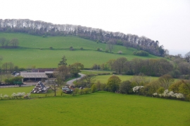
View towards High Harcourt Farm and Clent Hill
Minor road on Clent Hills
View towards High Harcourt Farm and Clent Hill
Location and coordinates are for the approximate centre of Uffmoor Green within this administrative area. Geographic features and populated places may cross administrative borders.