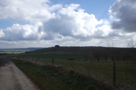
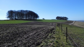
Uffcott Down, Vale of White Horse

« Gazetteer Entry
Upload Photo

Uffcott Down, Vale of White Horse

  • Parish/Community: Wroughton
  • Unitary Authority: Vale of White Horse
  • Region: South West
  • Category: Landcover
  • Type: Other Landcover
  • Latitude/Longitude: 51°29'9"N 1°48'5"W
  • Eastings/Northings: 413887, 176343
  • OS Grid: SU138763
  • Mapcode Local: GBR 4W6.TMF
  • Mapcode Global: VHB3S.QXJ9

Location and coordinates are for the approximate centre of Uffcott Down within this administrative area. Geographic features and populated places may cross administrative borders.

BritishPlaceNames.uk is a Good Stuff website.