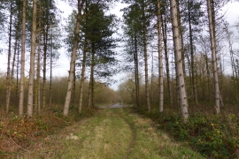
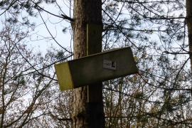
Twyford Wood, Lincolnshire

« Gazetteer Entry
Upload Photo

Twyford Wood, Lincolnshire

  • Parish/Community: Colsterworth
  • District/Borough: South Kesteven
  • County: Lincolnshire
  • Region: East Midlands
  • Category: Landcover
  • Type: Forest or Wood
  • Latitude/Longitude: 52°47'46"N 0°35'42"W
  • Eastings/Northings: 494828, 323009
  • OS Grid: SK948230
  • Mapcode Local: GBR DRK.LDM
  • Mapcode Global: WHGL2.TZT5

Location and coordinates are for the approximate centre of Twyford Wood within this administrative area. Geographic features and populated places may cross administrative borders.

BritishPlaceNames.uk is a Good Stuff website.