-
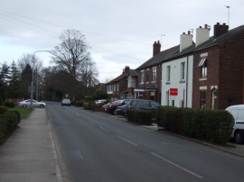
Common Lane (B5207)
-
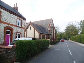
Converted Chapel - Culcheth
Common Lane (B5207)
Converted Chapel - Culcheth
Other current and historical names
Location and coordinates are for the approximate centre of Twiss Green within this administrative area. Geographic features and populated places may cross administrative borders.