-

Road junction on Baumber road, near Horsington
-
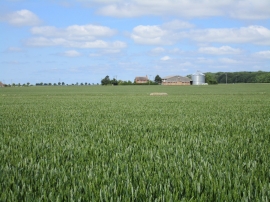
View towards Spotted Lodge
Road junction on Baumber road, near Horsington
View towards Spotted Lodge
Location and coordinates are for the approximate centre of Twenty Acre Plantation within this administrative area. Geographic features and populated places may cross administrative borders.