-
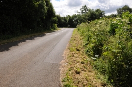
Stand of pines adjacent to B4031
-
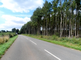
Approaching Banbury Road Belt
Stand of pines adjacent to B4031
Approaching Banbury Road Belt
Location and coordinates are for the approximate centre of Turnpike Spinney within this administrative area. Geographic features and populated places may cross administrative borders.