-
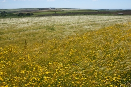
Fields inland from Trevilley
-
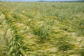
Barley field with impurities
Fields inland from Trevilley
Barley field with impurities
Location and coordinates are for the approximate centre of Trevilley within this administrative area. Geographic features and populated places may cross administrative borders.