-

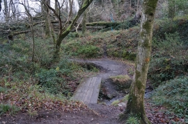
Cwm Gwennol, Saundersfoot
-
Pembrokeshire Coast Path towards Monkstone Point
Cwm Gwennol, Saundersfoot
Pembrokeshire Coast Path towards Monkstone Point
Location and coordinates are for the approximate centre of Trevayne Wood within this administrative area. Geographic features and populated places may cross administrative borders.