-
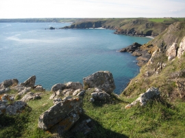
View west from Treleaver Cliff
-
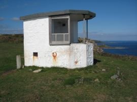
Look out post on Black Head
View west from Treleaver Cliff
Look out post on Black Head
Location and coordinates are for the approximate centre of Treleaver Cliff within this administrative area. Geographic features and populated places may cross administrative borders.