-
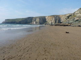
Trebarwith Strand and the cliffs at the north end of Hole Beach
-
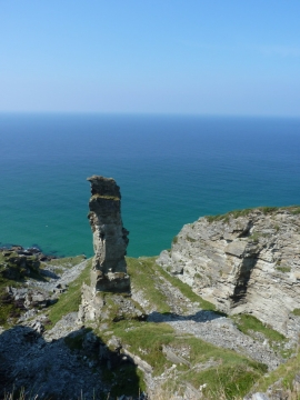
Lanterdan Quarry Pinnacle
Trebarwith Strand and the cliffs at the north end of Hole Beach
Lanterdan Quarry Pinnacle
Location and coordinates are for the approximate centre of Treknow Cliff within this administrative area. Geographic features and populated places may cross administrative borders.