-
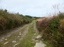
The track to Brook Cottage
-
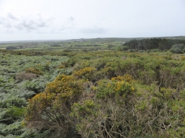
Bracken & gorse on Mulfra Hill
The track to Brook Cottage
Bracken & gorse on Mulfra Hill
Location and coordinates are for the approximate centre of Tredinneck within this administrative area. Geographic features and populated places may cross administrative borders.