-
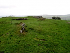
Tre-pys-llygod Summit View
-

Nant mawr farm caravans in the snow
Tre-pys-llygod Summit View
Nant mawr farm caravans in the snow
Location and coordinates are for the approximate centre of Tre-Pys-Llygod within this administrative area. Geographic features and populated places may cross administrative borders.