Camel estuary from Moyle Road
Uploader's Comments
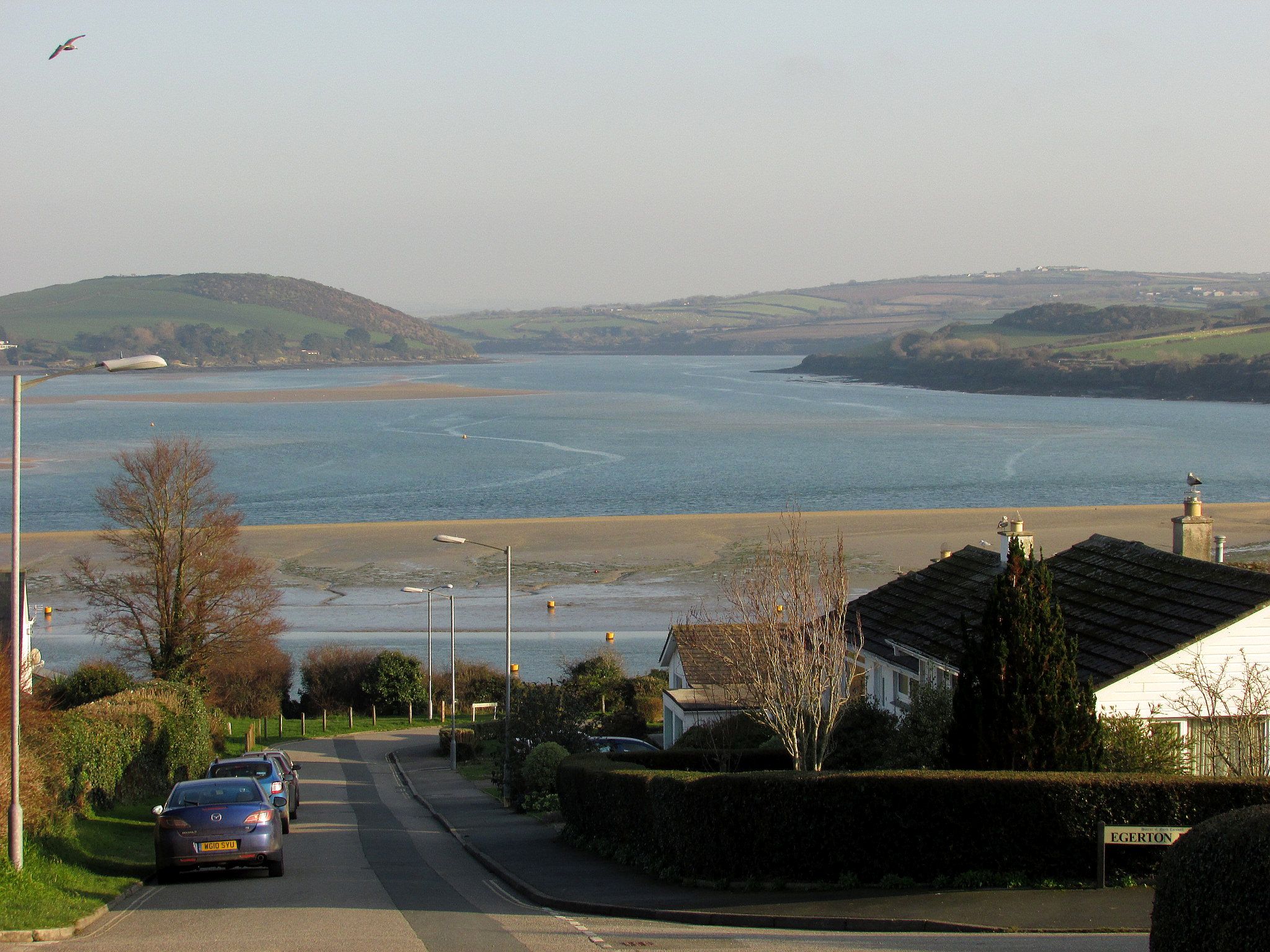
Moyle Road, on the face of it a normal residemtial street, carries footpath 532 24/2, which serves the useful function of linking the Saints' Way with the Camel Trail. The view looks across the Town Bar sandbank and a mid-river sandbank up the Camel estuary to Cant Hill on the other bank.
Uploaded to Geograph by Derek Harper on 20 January 2017


