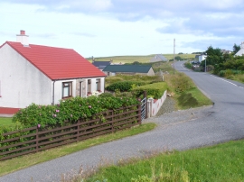
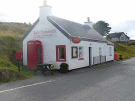
Tolastadh bho Thuath, Na h-Eileanan Siar

« Gazetteer Entry
Upload Photo

Tolastadh bho Thuath, Na h-Eileanan Siar

  • Unitary Authority: Na h-Eileanan Siar
  • Region: Scotland
  • Category: Populated Place
  • Type: Village
  • Latitude/Longitude: 58°20'35"N 6°12'42"W
  • Eastings/Northings: 153623, 947133
  • OS Grid: NB536471
  • Mapcode Local: GBR C61P.3GK
  • Mapcode Global: WGY2G.KK69

Location and coordinates are for the approximate centre of Tolastadh bho Thuath within this administrative area. Geographic features and populated places may cross administrative borders.

BritishPlaceNames.uk is a Good Stuff website.