-
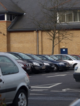
Behind Sainsbury's
-
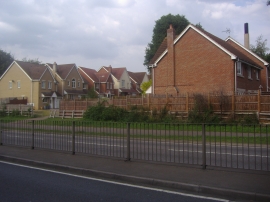
Houses on Tate's Way off the A602
Behind Sainsbury's
Houses on Tate's Way off the A602
Other current and historical names
Location and coordinates are for the approximate centre of Todd's Green within this administrative area. Geographic features and populated places may cross administrative borders.