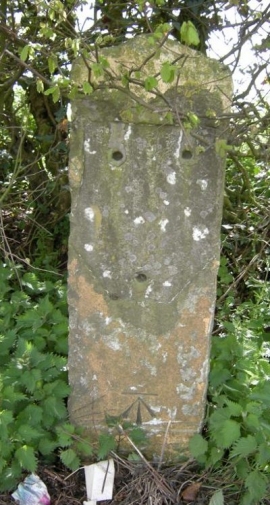
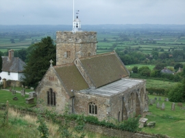
Tinker's Hill, Somerset

« Gazetteer Entry
Upload Photo

Tinker's Hill, Somerset

  • Parish/Community: Cucklington
  • District/Borough: South Somerset
  • County: Somerset
  • Region: South West
  • Category: Geographic Feature
  • Type: Hill or Mountain
  • Latitude/Longitude: 51°3'25"N 2°21'2"W
  • Eastings/Northings: 375527, 128690
  • OS Grid: ST755286
  • Mapcode Local: GBR 0VD.LJW
  • Mapcode Global: FRA 56ZB.62F

Location and coordinates are for the approximate centre of Tinker's Hill within this administrative area. Geographic features and populated places may cross administrative borders.

BritishPlaceNames.uk is a Good Stuff website.