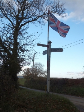
Tingcombe's Coombes Plantation, Devon

« Gazetteer Entry
Upload Photo

Tingcombe's Coombes Plantation, Devon

  • Parish/Community: Cheriton Bishop
  • District/Borough: Mid Devon
  • County: Devon
  • Region: South West
  • Category: Landcover
  • Type: Forest or Wood
  • Latitude/Longitude: 50°44'45"N 3°44'17"W
  • Eastings/Northings: 277473, 95494
  • OS Grid: SX774954
  • Mapcode Local: GBR QH.LCCS
  • Mapcode Global: FRA 3713.RHM

Location and coordinates are for the approximate centre of Tingcombe's Coombes Plantation within this administrative area. Geographic features and populated places may cross administrative borders.

BritishPlaceNames.uk is a Good Stuff website.