-
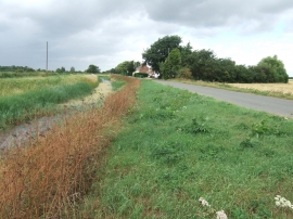
Low Road, Tilney Fen End
-
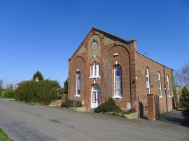
The Old Chapel, Tilney Fen End
Low Road, Tilney Fen End
The Old Chapel, Tilney Fen End
Location and coordinates are for the approximate centre of Tilney Fen End within this administrative area. Geographic features and populated places may cross administrative borders.