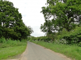
Thorpe Carr, Suffolk

« Gazetteer Entry
Upload Photo

Thorpe Carr, Suffolk

  • Parish/Community: Ixworth Thorpe
  • District/Borough: St. Edmundsbury
  • County: Suffolk
  • Region: Eastern
  • Category: Landcover
  • Type: Forest or Wood
  • Latitude/Longitude: 52°19'47"N 0°49'31"E
  • Eastings/Northings: 592629, 273971
  • OS Grid: TL926739
  • Mapcode Local: GBR RF9.ZFL
  • Mapcode Global: VHKCT.8P9P

Location and coordinates are for the approximate centre of Thorpe Carr within this administrative area. Geographic features and populated places may cross administrative borders.

BritishPlaceNames.uk is a Good Stuff website.