-
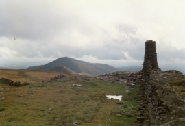
Embedded rocks on Thornthwaite Crag
-
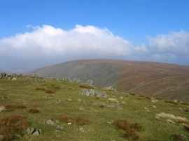
Southwards from Thornthwaite Crag to Froswick and Ill Bell
Embedded rocks on Thornthwaite Crag
Southwards from Thornthwaite Crag to Froswick and Ill Bell
Location and coordinates are for the approximate centre of Thornthwaite Crag within this administrative area. Geographic features and populated places may cross administrative borders.