-

Burymoor Bridge over Little Mere River
-
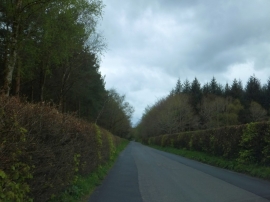
Beech hedges to the road in Burymoor Plantation
Burymoor Bridge over Little Mere River
Beech hedges to the road in Burymoor Plantation
Location and coordinates are for the approximate centre of Thornbed Plantation within this administrative area. Geographic features and populated places may cross administrative borders.