-
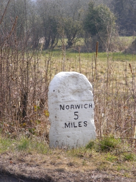
Milestone on the B1108 Watton Road
-
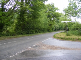
B1108 Watton Road
Milestone on the B1108 Watton Road
B1108 Watton Road
Location and coordinates are for the approximate centre of Thorn Pit Plantation within this administrative area. Geographic features and populated places may cross administrative borders.