-
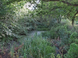
Smaller Pond at Onslow Green Nature Reserve
-
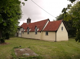
Blackchapel: chapel and priest's house
Smaller Pond at Onslow Green Nature Reserve
Blackchapel: chapel and priest's house
Location and coordinates are for the approximate centre of The Ware within this administrative area. Geographic features and populated places may cross administrative borders.