-
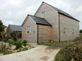
Richard Pearce Gallery
-
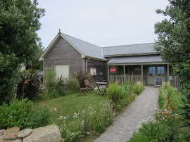
Bryher Post Office & Store
Richard Pearce Gallery
Bryher Post Office & Store
Other current and historical names
Location and coordinates are for the approximate centre of The Town within this administrative area. Geographic features and populated places may cross administrative borders.