-
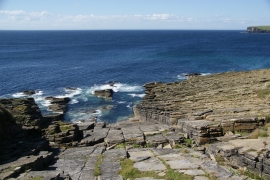
Rocky coast near Skidge
-
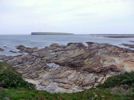
Rocky shore at Garson, Birsay
Rocky coast near Skidge
Rocky shore at Garson, Birsay
Location and coordinates are for the approximate centre of The Stable within this administrative area. Geographic features and populated places may cross administrative borders.