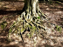
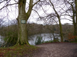
The Serpentine, Staffordshire

« Gazetteer Entry
Upload Photo

The Serpentine, Staffordshire

  • Parish/Community: Brown Edge
  • District/Borough: Staffordshire Moorlands
  • County: Staffordshire
  • Region: West Midlands
  • Category: Water Feature
  • Type: Inland Water
  • Latitude/Longitude: 53°5'44"N 2°9'42"W
  • Eastings/Northings: 389265, 355394
  • OS Grid: SJ892553
  • Mapcode Local: GBR 136.SC4
  • Mapcode Global: WHBCF.RGS3

Location and coordinates are for the approximate centre of The Serpentine within this administrative area. Geographic features and populated places may cross administrative borders.

BritishPlaceNames.uk is a Good Stuff website.