-
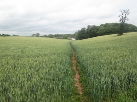
Footpath towards Home Farm, Foremark
-

Masonic Area of the Churchyard at St Saviour's
Footpath towards Home Farm, Foremark
Masonic Area of the Churchyard at St Saviour's
Location and coordinates are for the approximate centre of The Rookery within this administrative area. Geographic features and populated places may cross administrative borders.