-
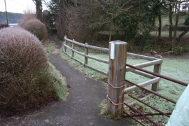
Permitted path by B5393
-
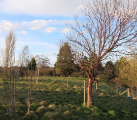
A Striped Red Tree
Permitted path by B5393
A Striped Red Tree
Location and coordinates are for the approximate centre of The Rookery within this administrative area. Geographic features and populated places may cross administrative borders.