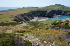
The Ovens, Pembrokeshire

« Gazetteer Entry
Upload Photo

The Ovens, Pembrokeshire

  • Parish/Community: St. David's and the Cathedral Close
  • Unitary Authority: Pembrokeshire
  • Region: Wales
  • Category: Geographic Feature
  • Type: Other Coastal Landform
  • Latitude/Longitude: 51°52'15"N 5°20'45"W
  • Eastings/Northings: 169769, 224458
  • OS Grid: SM697244
  • Mapcode Local: GBR C2.S8PF
  • Mapcode Global: VH0TK.977G

Location and coordinates are for the approximate centre of The Ovens within this administrative area. Geographic features and populated places may cross administrative borders.

BritishPlaceNames.uk is a Good Stuff website.