-
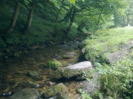
River Clywedog at Nant Mills
-
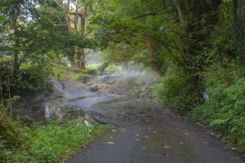
The ford at Nant Mill
River Clywedog at Nant Mills
The ford at Nant Mill
Other current and historical names
Location and coordinates are for the approximate centre of The Nant within this administrative area. Geographic features and populated places may cross administrative borders.