-
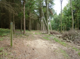
East along bridleway 3365
-
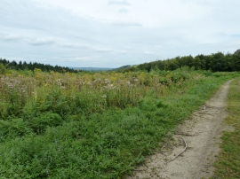
Wood clearance in Oak Combe
East along bridleway 3365
Wood clearance in Oak Combe
Location and coordinates are for the approximate centre of The Marlows within this administrative area. Geographic features and populated places may cross administrative borders.