-
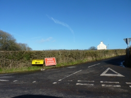
Road junction near Ash Grove, Llantilio Crossenny
-

Farmland at Llantilio Crossenny
Road junction near Ash Grove, Llantilio Crossenny
Farmland at Llantilio Crossenny
Location and coordinates are for the approximate centre of The Grove within this administrative area. Geographic features and populated places may cross administrative borders.