-
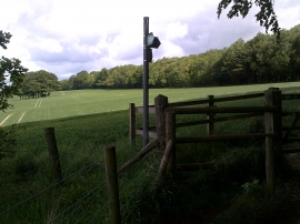
Wooden kissing gate, Latimer Park
-

Chess Valley Walk beside Tooley's Croft
Wooden kissing gate, Latimer Park
Chess Valley Walk beside Tooley's Croft
Location and coordinates are for the approximate centre of The Grove within this administrative area. Geographic features and populated places may cross administrative borders.