-
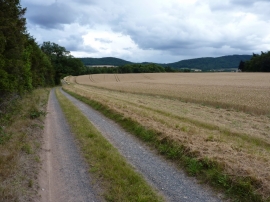
Track to Orleton Hall
-
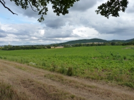
Farmland west of Wellington
Track to Orleton Hall
Farmland west of Wellington
Location and coordinates are for the approximate centre of The Barn Garden Plantation within this administrative area. Geographic features and populated places may cross administrative borders.