-
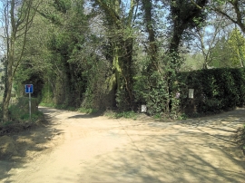
Bunny Lane's going nowhere
-
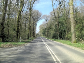
A27 penetrates Cowsfield Wood, Great Plantation
Bunny Lane's going nowhere
A27 penetrates Cowsfield Wood, Great Plantation
Location and coordinates are for the approximate centre of Testwood Copse within this administrative area. Geographic features and populated places may cross administrative borders.