-

Living up to its name
-
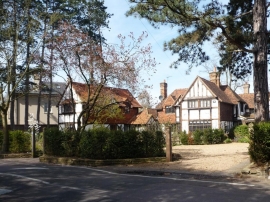
Trying to look rural
Living up to its name
Trying to look rural
Location and coordinates are for the approximate centre of Teck Plantation within this administrative area. Geographic features and populated places may cross administrative borders.