-
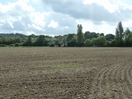
Field view to electricity sub-station at Elmers Marsh
-

Low helicopter over Hartley Green Copse
Field view to electricity sub-station at Elmers Marsh
Low helicopter over Hartley Green Copse
Location and coordinates are for the approximate centre of Taylors Copse within this administrative area. Geographic features and populated places may cross administrative borders.