-
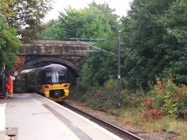
Baildon railway station - north end
-
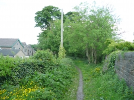
Footpath to Tong Park
Baildon railway station - north end
Footpath to Tong Park
Other current and historical names
Location and coordinates are for the approximate centre of Tarn within this administrative area. Geographic features and populated places may cross administrative borders.