-

Abandoned croft house at South Lochboisdale
-
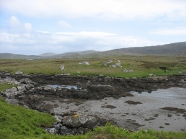
Eilean Mor
Abandoned croft house at South Lochboisdale
Eilean Mor
Location and coordinates are for the approximate centre of Taobh a' Deas Baghasdail within this administrative area. Geographic features and populated places may cross administrative borders.