-
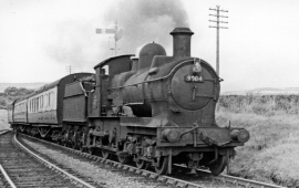
Aberystwyth - Shrewsbury train at Talerddig
-
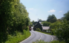
Looking up the A470 into Talerddig, from the railway
Aberystwyth - Shrewsbury train at Talerddig
Looking up the A470 into Talerddig, from the railway
Other current and historical names
Location and coordinates are for the approximate centre of Talerddig within this administrative area. Geographic features and populated places may cross administrative borders.