-
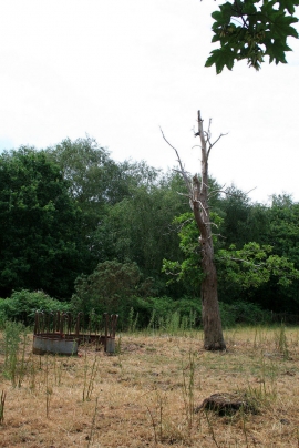
Old tree an Cattle feeding station
-
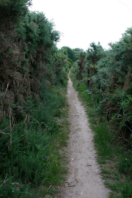
Path through tall gorse
Old tree an Cattle feeding station
Path through tall gorse
Other current and historical names
Location and coordinates are for the approximate centre of Talbot Heath within this administrative area. Geographic features and populated places may cross administrative borders.