-
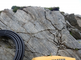
Rock face near fish farm jetty
-
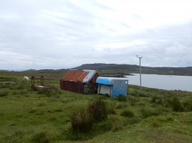
Recycling Uist style
Rock face near fish farm jetty
Recycling Uist style
Location and coordinates are for the approximate centre of Tahay within this administrative area. Geographic features and populated places may cross administrative borders.