-

Landkey : Newland
-
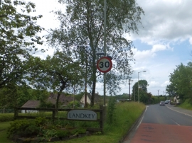
Welcome to Landkey
Landkey : Newland
Welcome to Landkey
Location and coordinates are for the approximate centre of Swimbridge Newland within this administrative area. Geographic features and populated places may cross administrative borders.