-
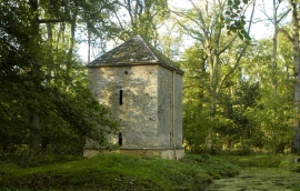
Former Pump House, nr Little Badminton, Gloucestershire 2013
-

Former Pump House, nr Little Badminton, Gloucestershire 2013
Former Pump House, nr Little Badminton, Gloucestershire 2013
Former Pump House, nr Little Badminton, Gloucestershire 2013
Location and coordinates are for the approximate centre of Swangrove within this administrative area. Geographic features and populated places may cross administrative borders.