-
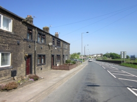
Houses on Halifax Road
-
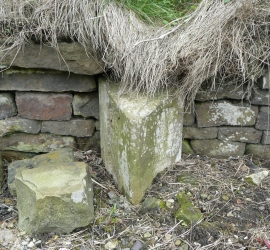
Boundary stone, Halifax Road (A629)
Houses on Halifax Road
Boundary stone, Halifax Road (A629)
Location and coordinates are for the approximate centre of Sun Side within this administrative area. Geographic features and populated places may cross administrative borders.