-
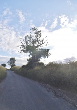
Stony Lane, Tea Green
-
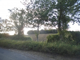
Trees by Stony Lane, Tea Green
Stony Lane, Tea Green
Trees by Stony Lane, Tea Green
Location and coordinates are for the approximate centre of Stubbocks Wood within this administrative area. Geographic features and populated places may cross administrative borders.