-
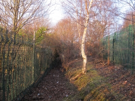
Public footpath from Pontefract Road to Queen Street (1)
-
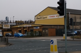
Arnold Laver on Pontefract Road, Stourton
Public footpath from Pontefract Road to Queen Street (1)
Arnold Laver on Pontefract Road, Stourton
Location and coordinates are for the approximate centre of Stourton within this administrative area. Geographic features and populated places may cross administrative borders.