-
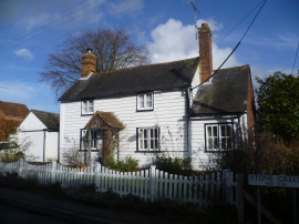
Cottage at Stone Green, Stone-in-Oxney
-
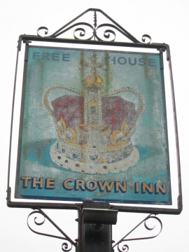
The Crown Inn sign
Cottage at Stone Green, Stone-in-Oxney
The Crown Inn sign
Location and coordinates are for the approximate centre of Stone in Oxney within this administrative area. Geographic features and populated places may cross administrative borders.